
Zenith Surveying
Zenith Surveying LLC is a trusted provider of professional surveying services, delivering precise and reliable solutions that support informed decision-making and project success. Our firm is committed to excellence through the use of advanced technology, rigorous standards, and a highly experienced team. At Zenith Surveying LLC, we consistently uphold accuracy, integrity, and efficiency, setting a high benchmark for quality in the surveying industry.
Our Services
-
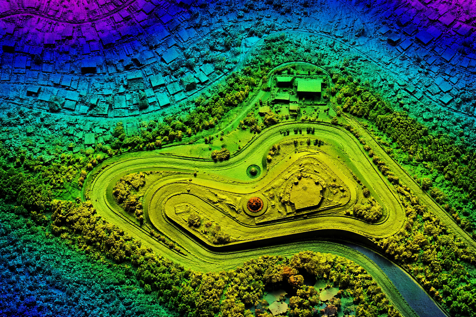
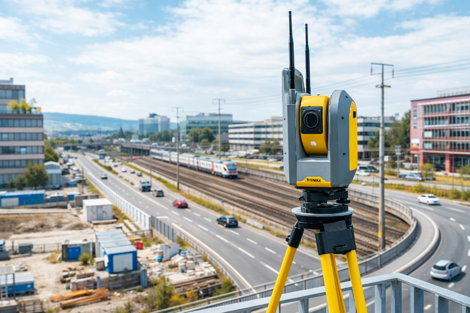
Aerial Mapping – Drones & Photogrammetry
Zenith Surveying provides high-accuracy aerial mapping services using advanced drone technology and photogrammetry.
-

Construction Support & 3D Modeling
We offer comprehensive construction support services designed to keep projects on schedule and built accurately.
-
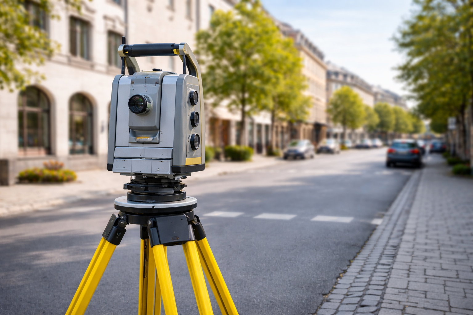
Land Surveying Services – Boundary, ALTA & Easement
Zenith Surveying delivers professional land surveying services that meet local, state, and national standards.